The bus to Stechelberg was only about a 10 minute drive up the canyon. This was the end of the line for vehicular traffic. You had a stellar view of the Grosshorn and Breithorn peaks beyond Stechelberg with a very wide (and tall) waterfall that I can't find a name for on my map. I was hoping we might get a better view, but the ride suddenly ended at the base of a gondola and we could not longer see it around the bend. There was enough gorgeousness that I didn't sweat this, but I would love to hike a trail in that direction in the future and get a closer view.

This picture is actually of several avalanche trails. The angle is a little hard to tell, but the cliff face beyond the trees is sheer enough not to hold much snow. We were speculating that the avalanche actually comes over the top from the higher peaks above and spills over the sheer wall to the tree covered slopes below.

Wyenbach waterfall at Stechelberg

From Stechelberg we took a short gondola ride to Gimmelwald, stepped across the platform to meet a connecting gondola to Murren and continued up the mountain. The timing was perfect as the two met and people swapped places going up or down the mountain.
View of Grosshorn from Murren.

Murren is perched on a cliff overlooking the valley. Elevation 5374 ft. There are no cars in the town (and no streets, just paved walking/biking paths). When you arrive in the gondola, there is a wall of garden carts (wider than wheelbarrows, but similar). They are all locked up, so I think they might be private (like a bike rack for carts).

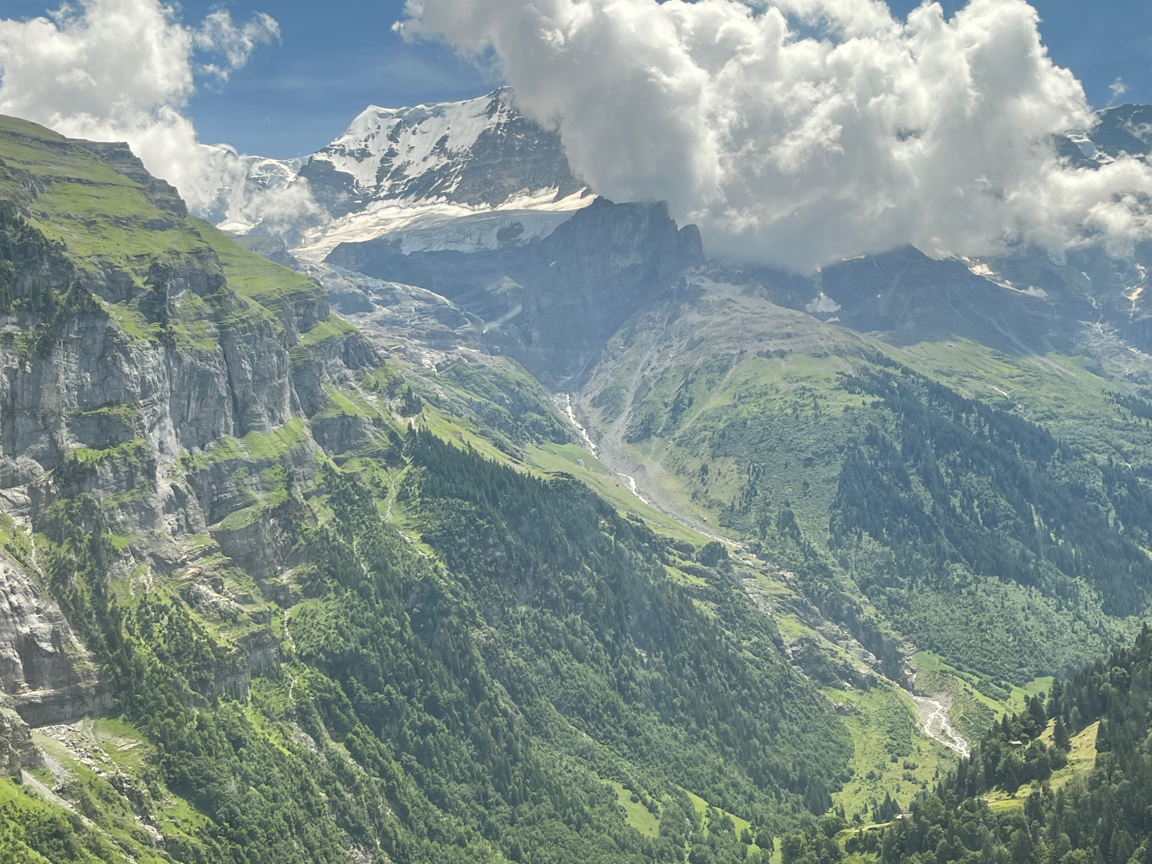
I was fascinated to be looking across the mountain at the foot of Jungfrau where the Eigergletscher train station goes into the mountain for the last leg to the top of Jungfrau. Murren is 5300 ft and the Eigergletscher is at 7600, so its not too high above my elevation.
Without knowing what you are looking for, its hard to see... If you follow the vertical whitish oval of stone just to the right of the center, you see several horizonal grey shapes above it at the base of the cliff wall. Those are the buildings for the Eiger Express and Jungfraujoch stations. (My phone could not zoom any closer than this view).

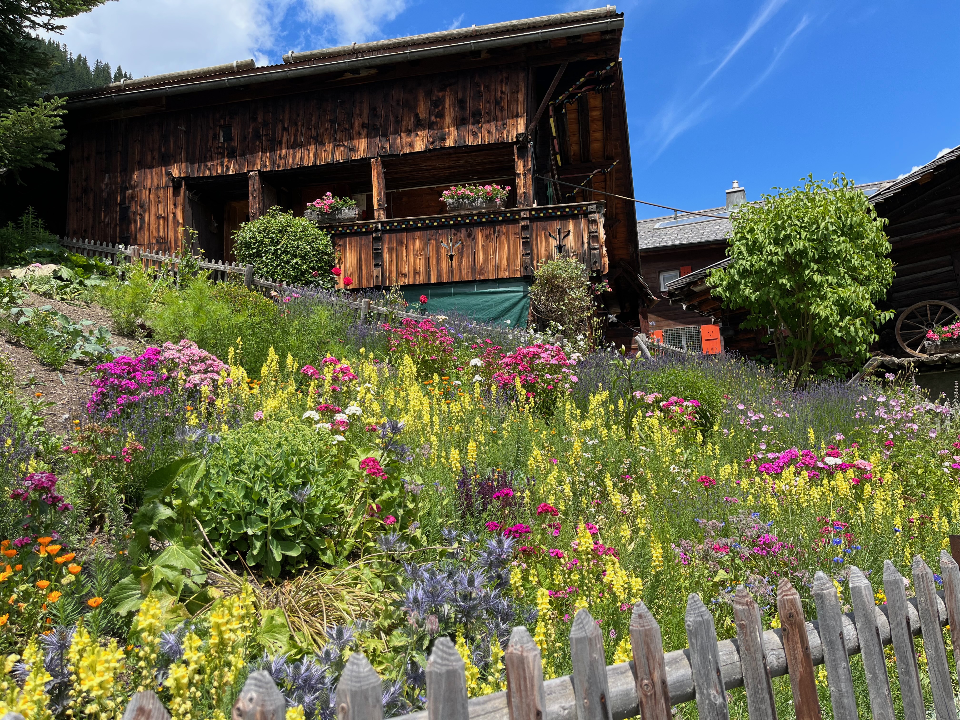
A requirement for residency must be great gardening skills. All the flowers were stunning.

Murren and Grosshorn in the distance.

We found a second vending machine. This was not in the middle of no-where on the trail. This was actually in the town of Murren, but it also contained several slabs of cheese and a few other healthy snack items.


Our last transit to the top today was another funicular to Allendhubel (elevation 6257 ft)

The funicular needs to stay at a pretty constant gradient, so the track was built up toward the end to match the gradient on the slope.


Our counterweight tram meeting us half way.

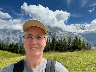
Although this picture is sunny, much of our hike was actually under a light cloud cover. It was nice because the day was so hot and the sun really blazes down at elevation.

We started our hike at the green 3 and took a lot of pictures looking up at Birg peak (#2). From our angle, we could not see Schlithorn peak (#1). Birg was in the clouds for a good portion of the time, so Schlithorn might have been too. You would recognize the station at the top of Schlithorn, its octagonal and was filmed in a 007 James Bond movie (not sure which one). We didn't make it that far today.

A really fun playscape for kids at the top of Allmendhubel.

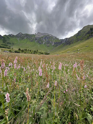
We walked the Flower Trail from the top of Allmendhubel back down to Murren (approx 1.5 miles).

This is looking across the valley at Lauberhorn and the crazy ski race that runs off the top of the tallest point to the right of the mountain in the distance, and runs down the trail we walked into Wengen.

This is a zoom.
We walked along the trail (angled horizontal light green line toward the bottom of the picture).

We did see goats and cows with bells, which made Charlene happy. We had a good laugh before we returned to our airbnb, checking our boots to make sure we weren't tracking in "cow" as our host had warned us about (multiple times).

The clouds made the scenery quite pretty.


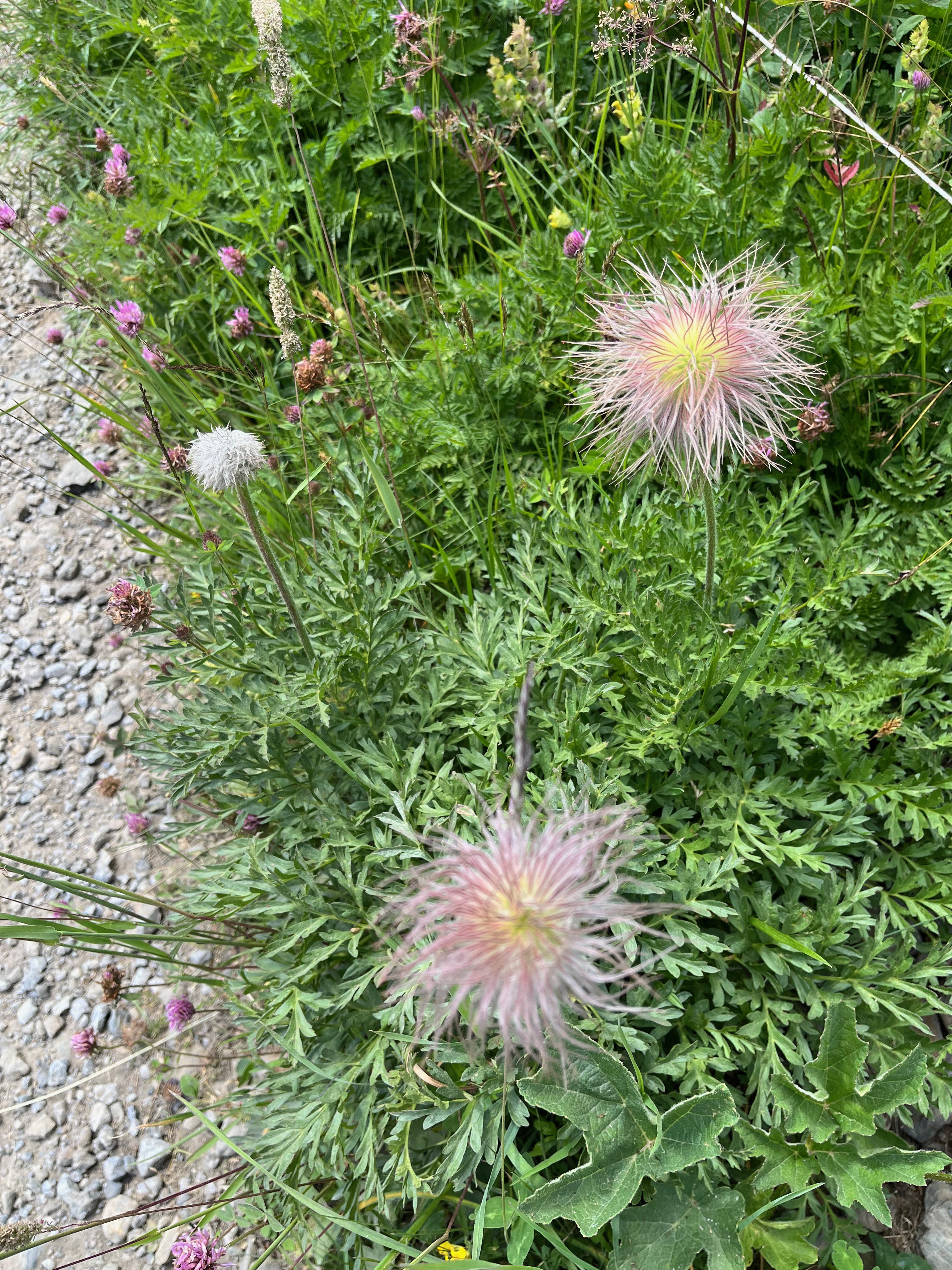

There were some signs at the top of the trail identifying all the different flowers and talking about their various medicinal purposes.

I lost track of how many different varieties we saw.


This was the tram that went to the top of Birg Peak. There was a huge gap between the pylons and the top, and some of the pylons were at pretty crazy angles. This kind of captures Switzerland in a single picture: cows, mountains, flowers, hikers and gondolas.


As we approached Murren, we saw a guy haying the field. The slope was pretty steep and his giant weed-wacker thing had huge spikes in the tires to keep it from sliding down the slope. We saw people in other fields racking the cuttings into rows and a machine going along and gathering the clippings up. I assume it is cattle fodder.


Charlene and I had a good chuckle over this: One of these things is not like the other...

You can see our trip on my hiking app. The triangular zigzap is the two tram rides we took up to Murren. The loop is the flower trail.

End of our day. We reversed our travels and ended up on the river shore soaking our feet. A great day!
No comments:
Post a Comment